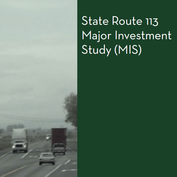
This large infrastructure project will improve and widen the major freeways on the I-80 corridor as well as improving connectivity...
The Jepson Parkway Project will span 12-miles to create a multi-modal corridor that will serve as an I-80 Reliever Route....
In order to alleviate traffic congestion on the I-80 corridor, STA will be working with our member agencies and Caltrans...
March 7, 2019
March 13, 2025
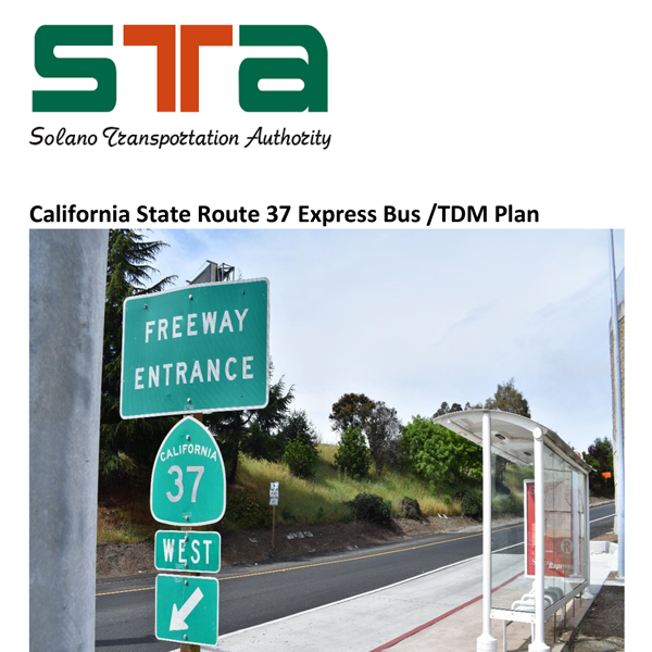
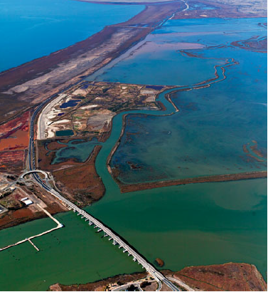
California State Route 37 (SR 37) is a 21-mile long state highway that connects Interstate 80 in the Solano County city of Vallejo with U.S. Highway 101 in the Marin County city of Novato. Running along the northern shore of San Pablo Bay, SR 37 is the most direct connection between eastern and western portions of the North Bay, and therefore serves as a vital link for travelers traveling between Solano, Napa, Sonoma, and Marin Counties.
Although the corridor has been proposed to be upgraded to freeway standards since the 1950s, due to various environmental and economic challenges it exists as a two-lane highway for most of its length and consistently suffers from heavy congestion and travel time delays. Resulting from these issues is an interest among North Bay jurisdictions, including the transportation authorities of Solano, Napa, Marin, and Sonoma Counties, to explore the feasibility of an optimized transit solution for the SR 37 corridor that would better enable travelers to connect across the North Bay without a private vehicle and also alleviate the continuing traffic congestion along SR 37 (estimated in 2019 at 13-hours a day). With this plan, the Solano Transportation Authority (STA) is building upon the findings of a previously completed SR 37 Travel Behavior and Transit Feasibility Study (2019) to identify appropriate mobility solutions for the corridor that are both feasible and data informed.

January 22, 2019
The goal of a Corridor System Management Plan (CSMP) is to define how a travel corridor is performing, understand why it is performing that way, and recommend system management strategies to address problems within the context of a long-range planning vision. Guided by the system management pyramid, a CSMP seeks to incorporate operational analysis into more traditional transportation planning processes at the corridor level. This is accomplished by conducting comprehensive performance assessments, analysis, and evaluations leading to recommending system management strategies for the corridor.
Each CSMP is developed in concert with, and in consideration of, State, local and regional goals, including, but not limited to, local and regional mobility, transportation system connectivity, regional blueprint planning, context-sensitive transportation solutions, and encouraging the use of alternative transportation modes.
October 11, 2019
December 22, 2017
STA developed a partnership with the Solano Economic Development Corporation (EDC) to study the economic impacts as a result of major transportation projects on the I-80 Corridor. The I-80 Corridor Project Analyses was initiated in August 2017 in anticipation of several new grant programs at the regional, state and federal level, including funding provided by Senate Bill 1 (SB1). Transportation infrastructure projects have economic impacts based on both construction and use once completed. Three Solano Transportation Authority (STA) projects include:
• I-80 Westbound Cordelia Truck Scales Improvements;
• I-80/I-680/SR12 Interchange Improvements; and
• I-80 Express Lanes Addition
May 30, 2019
December 10, 2019
The goal of the l-80/1-680/1-780 Major Investment and Corridor Study is to develop a long range, multi-modal transportation plan for the 1-80, 1-680 and 1-780 corridors in Solano County. Interstates 80, 680 and 780 form the backbone of Solano County’s roadway network. According to projections by the Association of Bay Area Governments (ABAG), the population of Solano County will grow by 45 percent between 2000 and 2025, and transportation demands on the County’s freeway network are expected to increase accordingly. If transportation improvements are not pursued within the study corridors in this timeframe, forecasts predict dramatic increases in vehicular congestion and delay. These increases in vehicular congestion are projected to be the worst on the segments of 1-80 through Fairfield and Vacaville, with peak hour delays of greater than one-half hour in some sections.
May 30, 2019
November 15, 2019
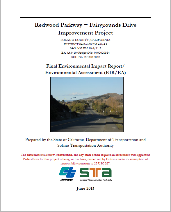
The Solano Transportation Authority (STA), Solano County, and the City of Vallejo, in cooperation with the California Department of Transportation (Department), propose to modify the existing Interstate 80 (I-80)/Redwood Parkway interchange to a tight diamond configuration, realign Fairgrounds Drive to a tee intersection north of the I-80 westbound ramps, widen Fairgrounds Drive between Redwood Street and State Route 37 (SR 37), widen the westbound exit ramp from SR 37 to Fairgrounds Drive, and improve the intersections at the SR 37/Fairgrounds Drive Interchange. Current transportation issues in this area include poor circulation during peak commute periods, long delays at intersections, short acceleration and deceleration areas, and limited sight distance. In addition, the existing capacity of the roadways in this area would not accommodate the projected future traffic volumes.
February 2, 2021
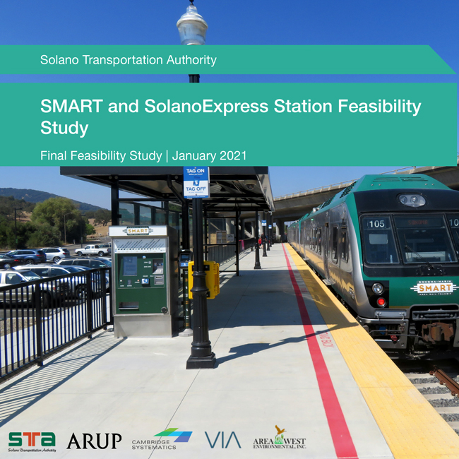
The 2018 California State Rail Plan, the state’s strategic plan for creating a coordinated, statewide rail network, identified a “Solano County Hub” to link Capitol Corridor, future Sonoma-Marin Area Rail Transit (SMART) trains, and regional buses. This report analyzed potential rail station locations along the Union Pacific Railroad/SMART corridor within Solano County to determine a recommended location for the proposed Solano County Hub. The study recommends the current location of the Suisun-Fairfield Capitol Corridor Station as the SMART-Capitol Corridor station site. In addition, the report provides a range of station options for another station site in the Cordelia area in the City of Fairfield that could be considered in the update of the City’s General Plan.
Please contact Associate Planner Kathrina Gregana at kgregana@sta.ca.gov with any questions or concerns.
January 22, 2019
The Office of Traffic Safety (OTS) has awarded STA a $170,000 grant to coordinate the adoption of a standardized collision data program throughout Solano County. This effort will seek to obtain collision reporting software for each police department within Solano County. This software will provide standardized information and geo-coding of collision locations, for easier analysis and planning. The ultimate goal of this program is to be able to identify dangerous intersections or corridors and seek state funding for improvements to these locations. This database is now complete and is currently being used by STA and each of its member agencies.
June 8, 2023
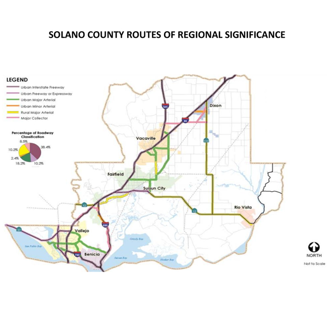
Solano County Routes of Regional Significance 2020
December 11, 2025
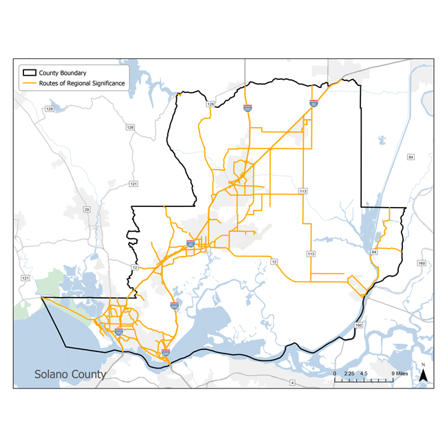
Solano County Routes of Regional Significance 2025
December 10, 2019
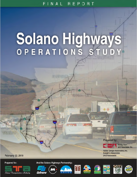
The primary purpose of this document is to conduct a review of the existing studies that will influence or provide relevant materials and/or information in the development of the Solano Highways Operations Study. It is understood that there have been many studies prepared and that each study may address portions of the goals and objectives of the Solano Highways Operations Study, and identifying those areas will serve to incorporate the recommendations and next steps from the existing studies. One note is that Solano Highways Operations Study will support the development of the Caltrans Corridor System Management Plan (CSMP) for SOL-80.
Another purpose of this study is to briefly describe some of the ITS technologies that are available or are under development. As part of the Solano Highways Operations Study, a Corridor-Level ITS Architecture and Implementation Plan will be developed and these ITS technologies will be considered as part of that Plan.
May 30, 2019
June 8, 2023
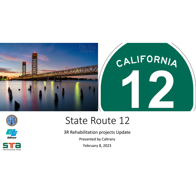
SR 12 Caltrans SHOPP Presentation February 2023
May 30, 2019
February 24, 2025
Designing a transit route to meet communities’ needs in an efficient and effective manner requires a thorough understanding of the operating environment, existing transit service and potential demand for the service. This SR 12 Transit Corridor Study presents relevant findings from recent plans and studies, information on area transit operations and specifically intercity routes, and the demographic characteristics of, and travel behavior in, Solano and Napa Counties. These findings help provide the basis for subsequent steps in the planning process for the implementation of the proposed service.
June 8, 2023
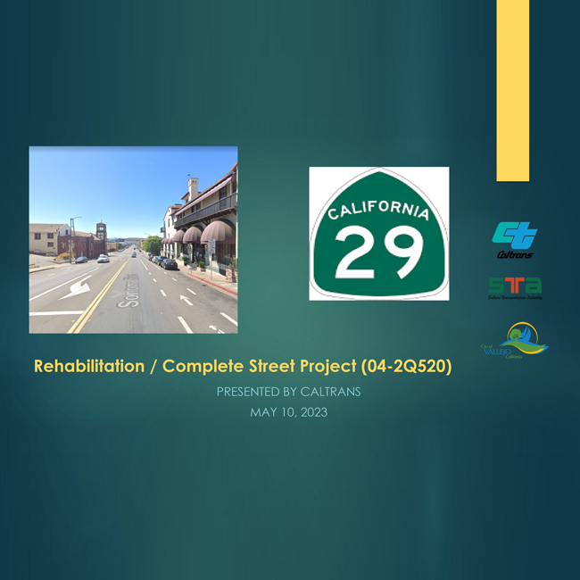
SR 29 Caltrans SHOPP Presentation May 2023
September 30, 2020
The SR 29 Comprehensive Multimodal Corridor Plan (SR 29 CMCP) evaluates the most constrained portion of SR 29 – an 11.5-mile portion that stretches from Imola Avenue (designated SR 121 east of SR 29) in the City of Napa to SR 37 in the City of Vallejo. The objective of the SR 29 CMCP is to develop a comprehensive multimodal package of prioritized improvements that address the corridor’s pre-eminent issues, including traffic congestion and delay, increased crash risks for all users, lack of low-stress multimodal connectivity, reduced travel time and transit reliability.
May 3, 2019
The purpose of this study is to understand the demand and propensity to use transit and non-single occupant vehicle options on SR 37 to relieve congestion and address equity concerns. This report presents a summary of a four-step right-sized transit analysis approach and methodology along with an evaluation of potential transit options including future considerations. A non-single occupant vehicle opportunities and constraints analysis is also presented.
